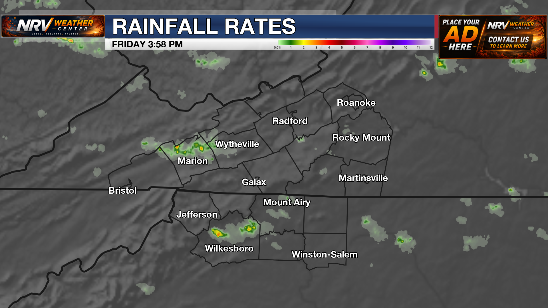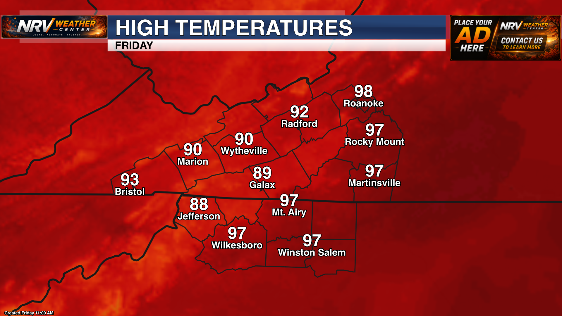
Latest graphic
NRV Weather Center Graphics
Browse the latest forecast, severe weather, hydrology, observation, climate, model and radar products for Southwest Virginia and the surrounding region.
Official & local guidance
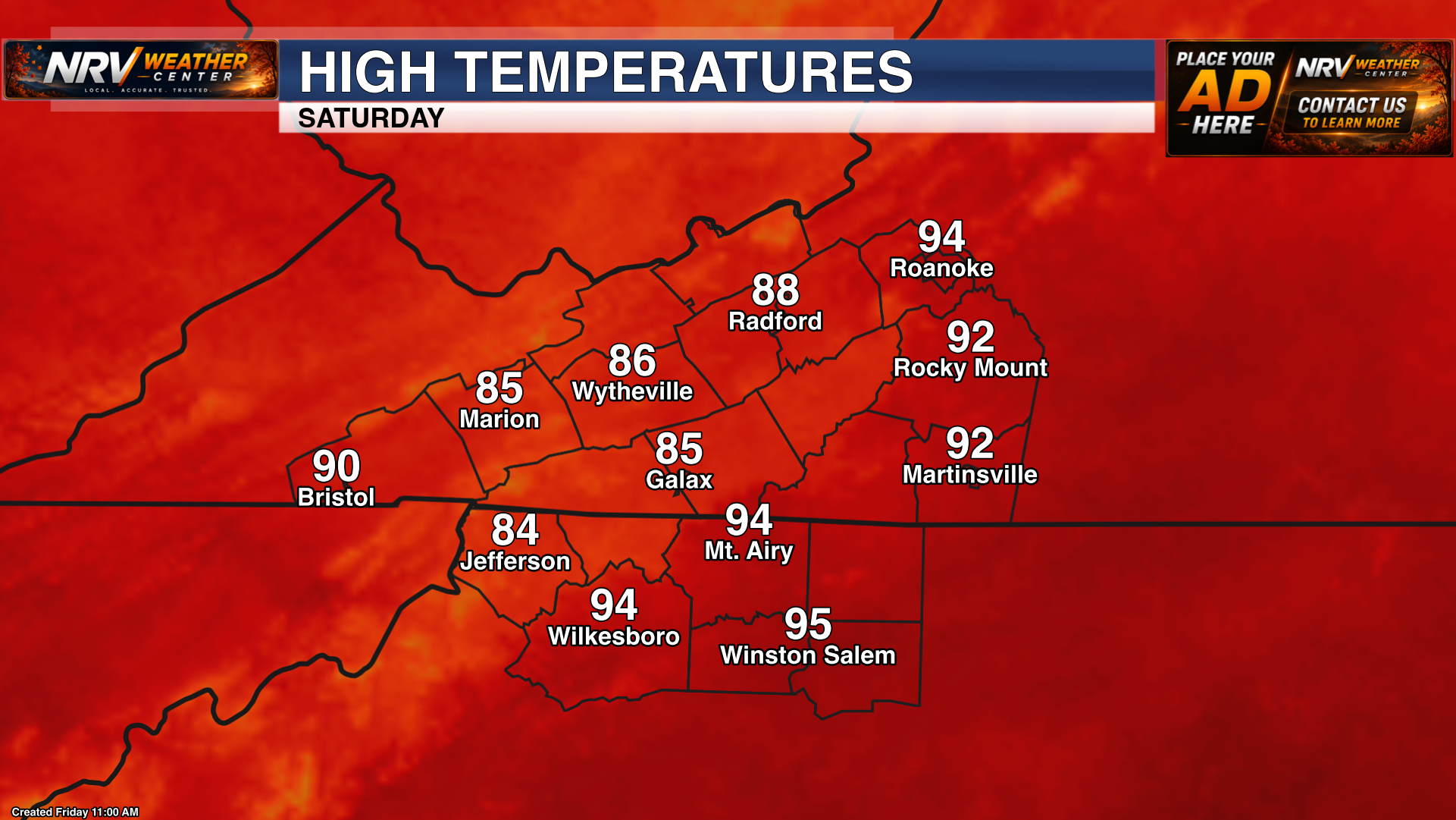
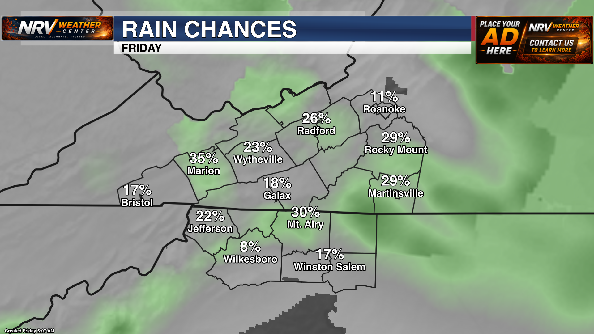
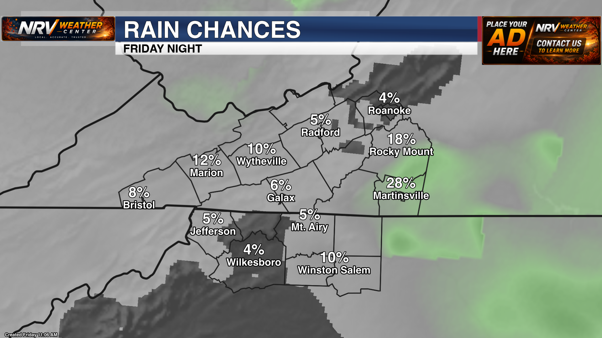
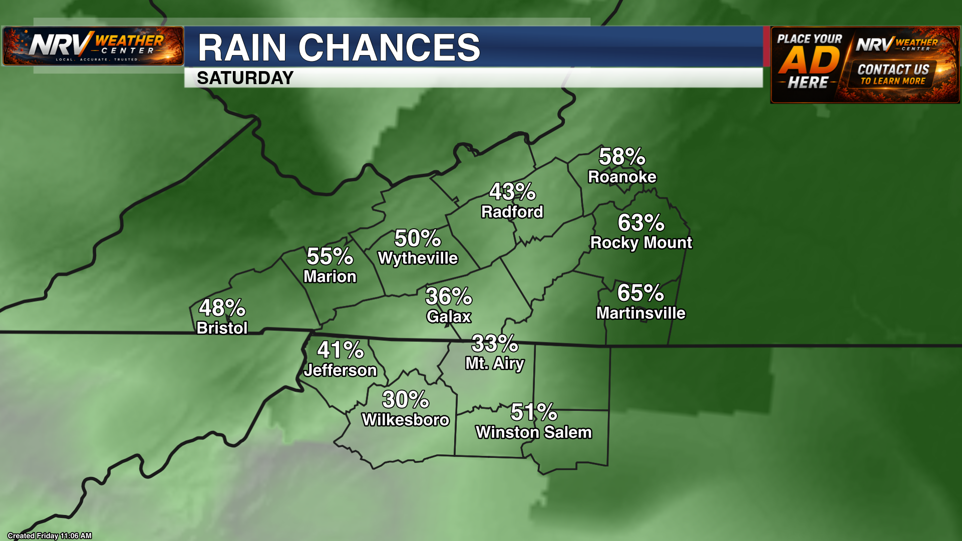
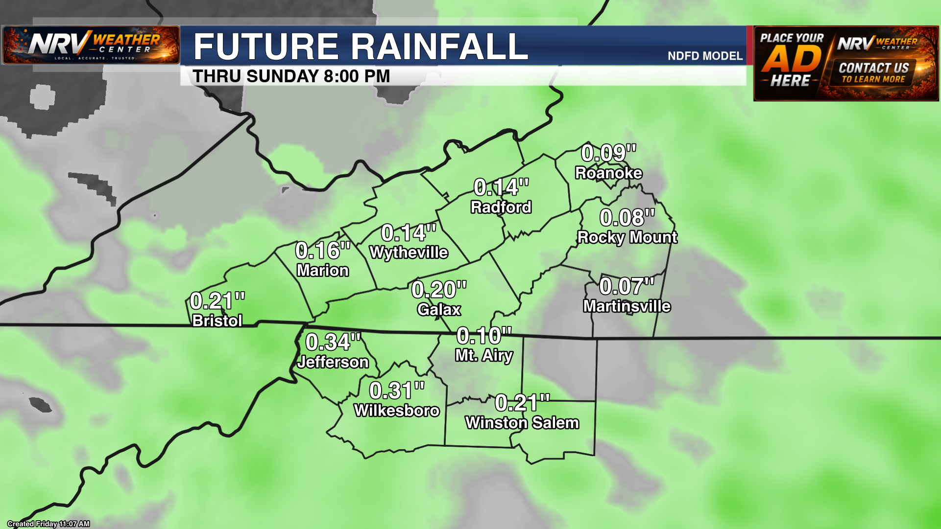
Temperature, precipitation and rainfall forecast graphics for Southwest Virginia and nearby communities.
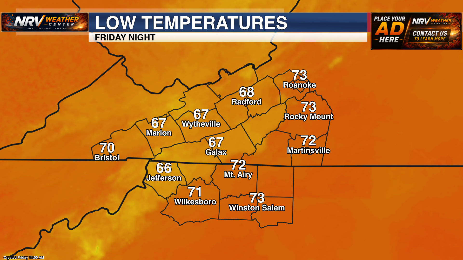
Storm Prediction Center
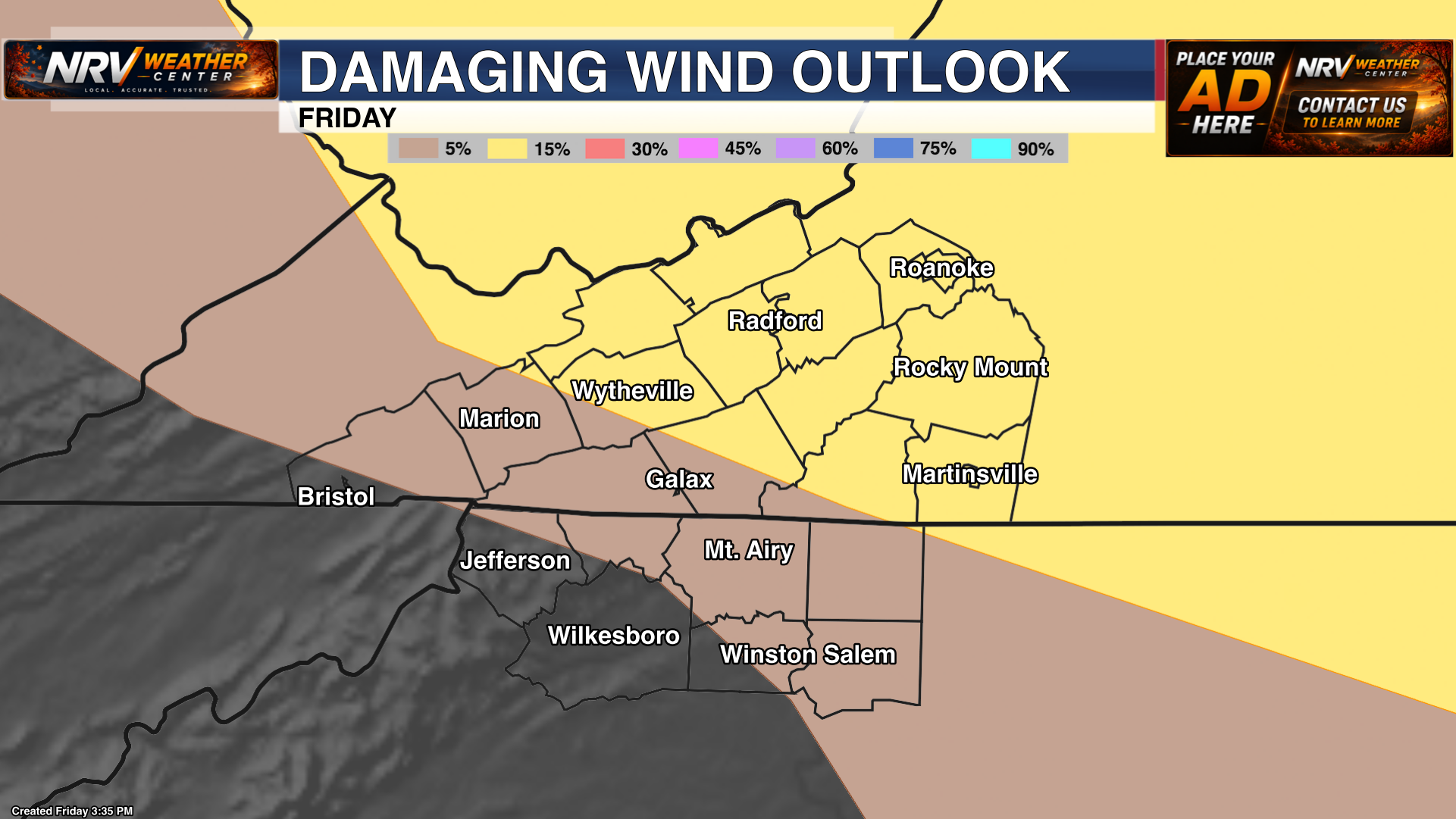
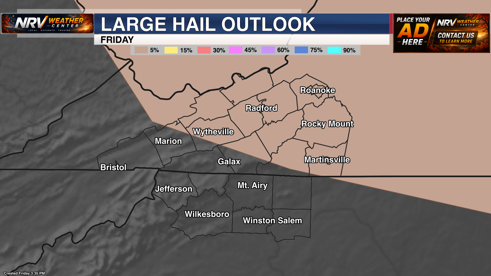
SPC convective outlooks highlighting the potential for severe thunderstorms, damaging wind, hail and tornadoes.
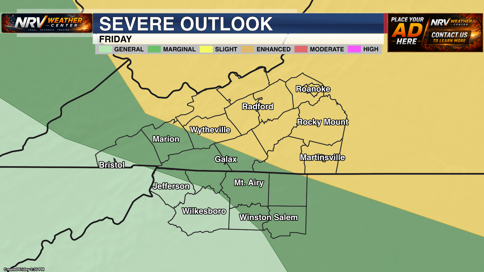
Path normalized to Outlooks/SPC to match the rest of the SPC products.
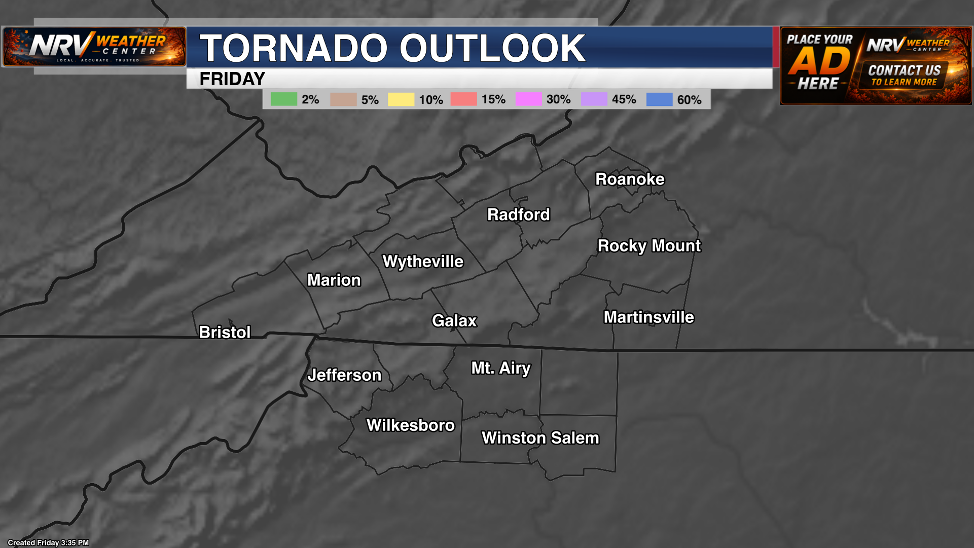
Path normalized to Outlooks/SPC to match the rest of the SPC products.
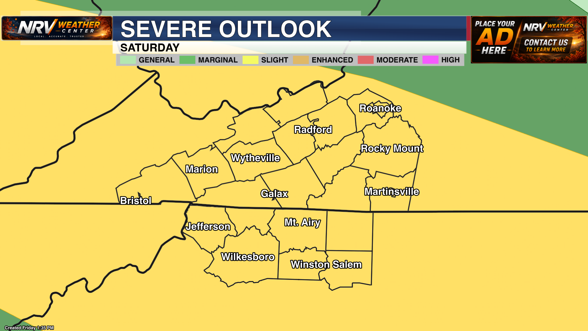
Path normalized to Outlooks/SPC to match the rest of the SPC products.
Active weather hazards
Local alert graphics and SPC mesoscale discussions for hazards affecting the NRV Weather Center coverage area.
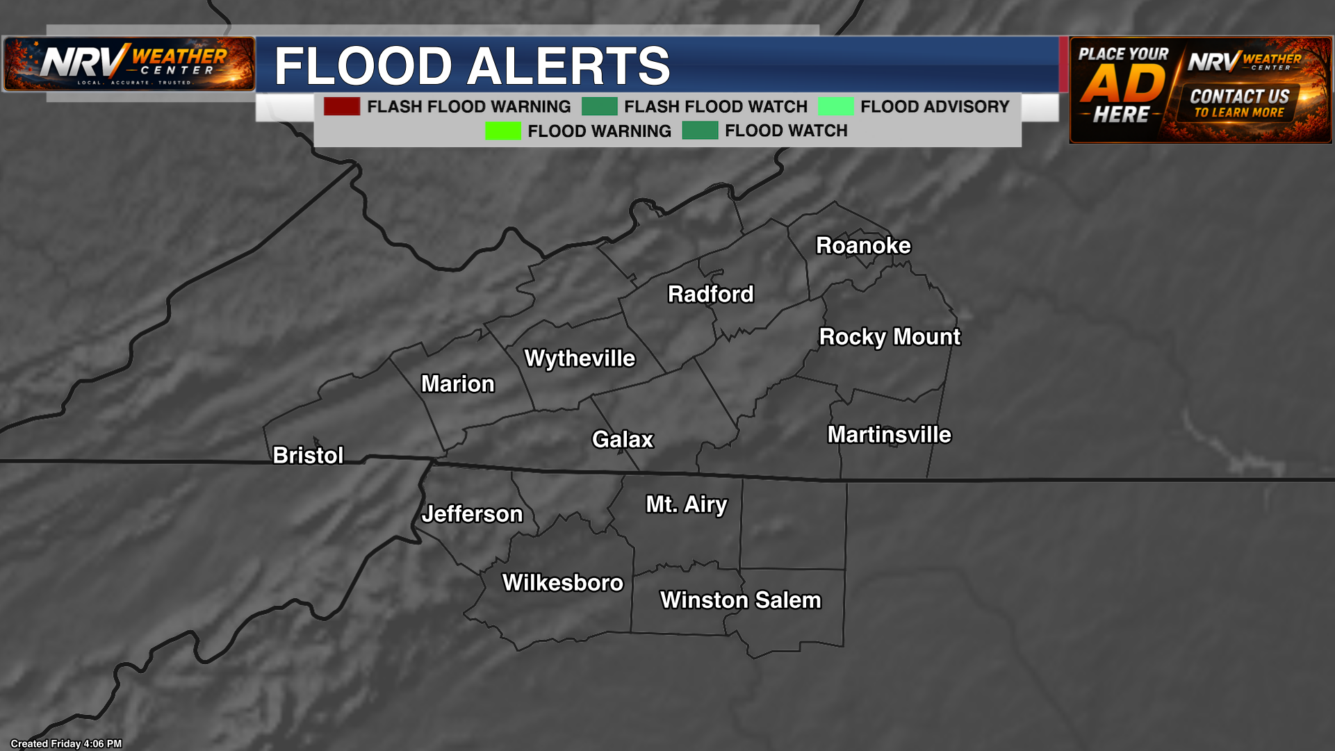
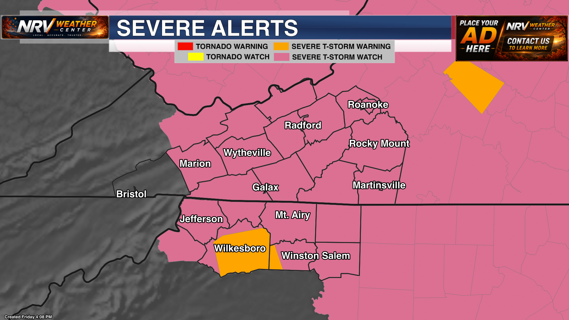
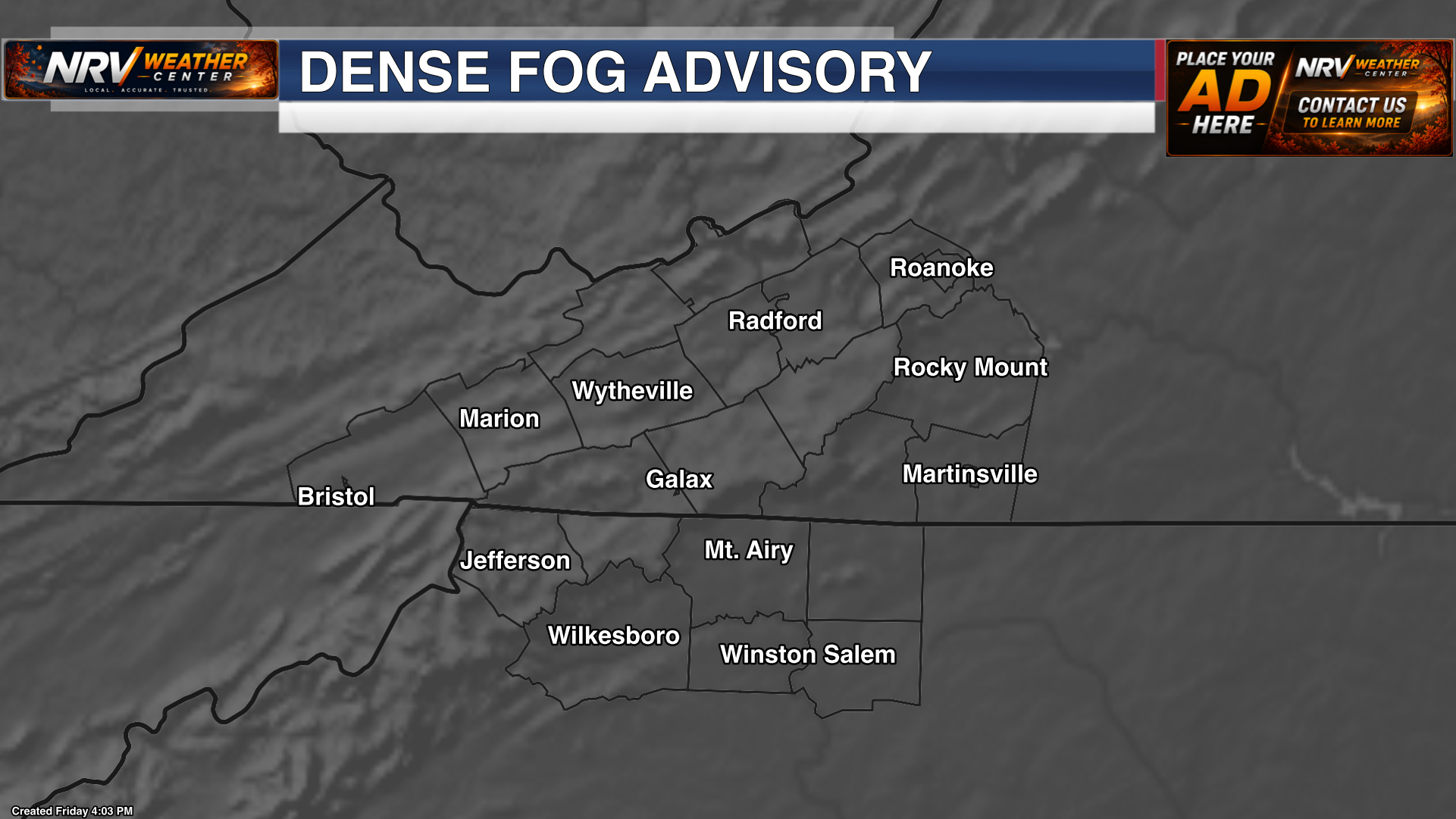

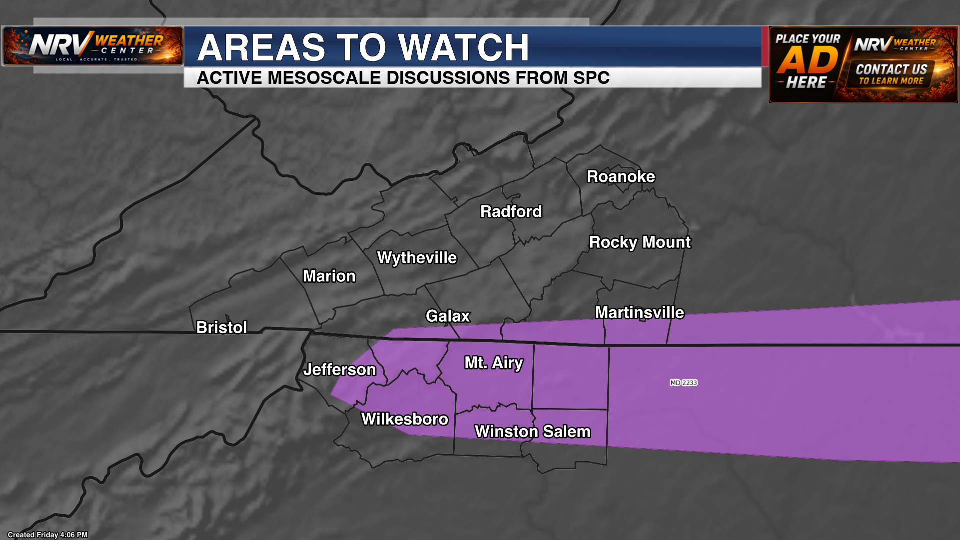
Water & rainfall
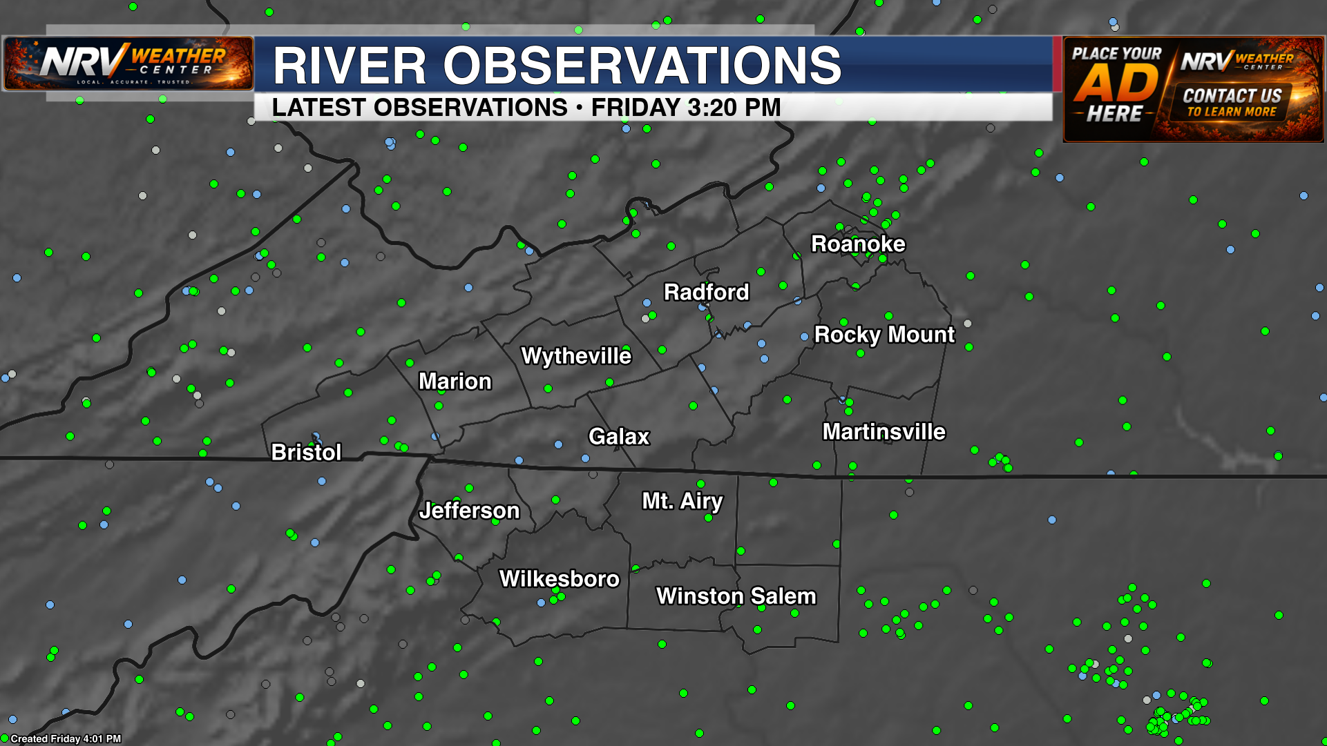
Short-range rainfall guidance plus local river gauge and hydrology observations.
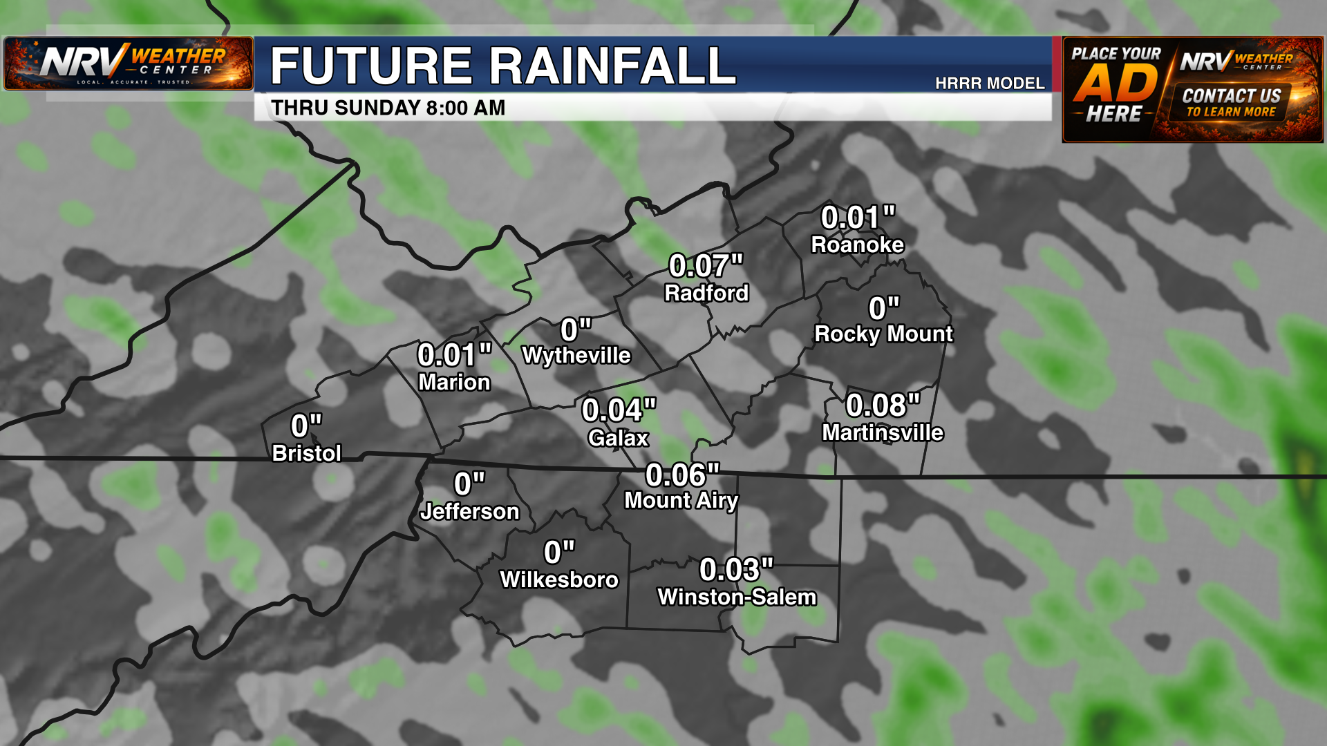
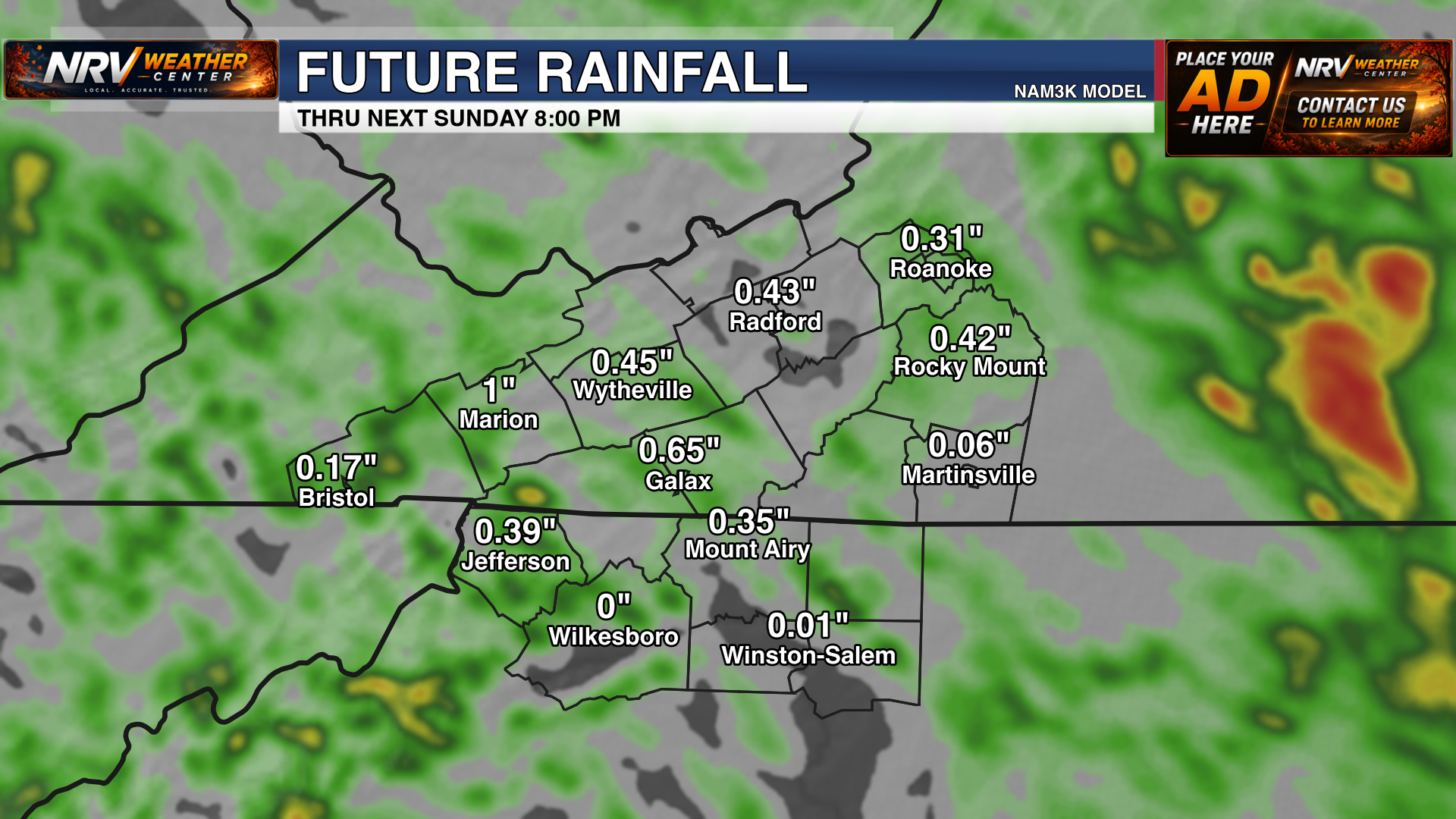
What is happening now
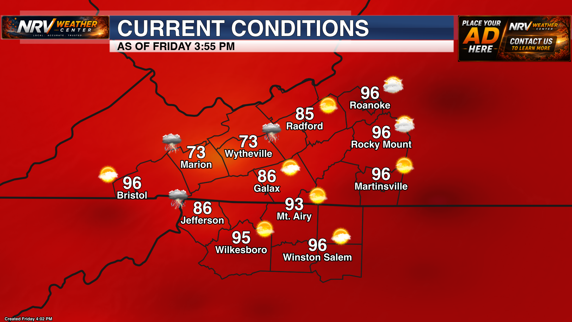
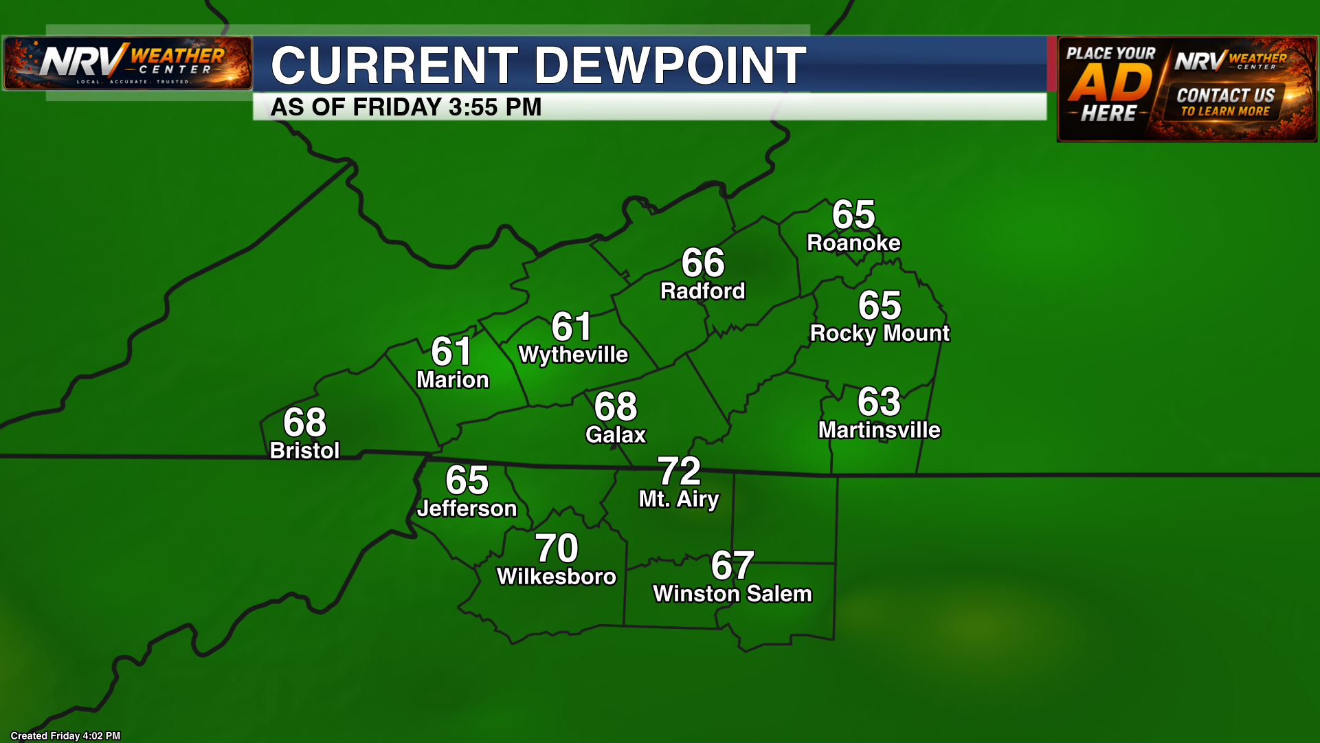
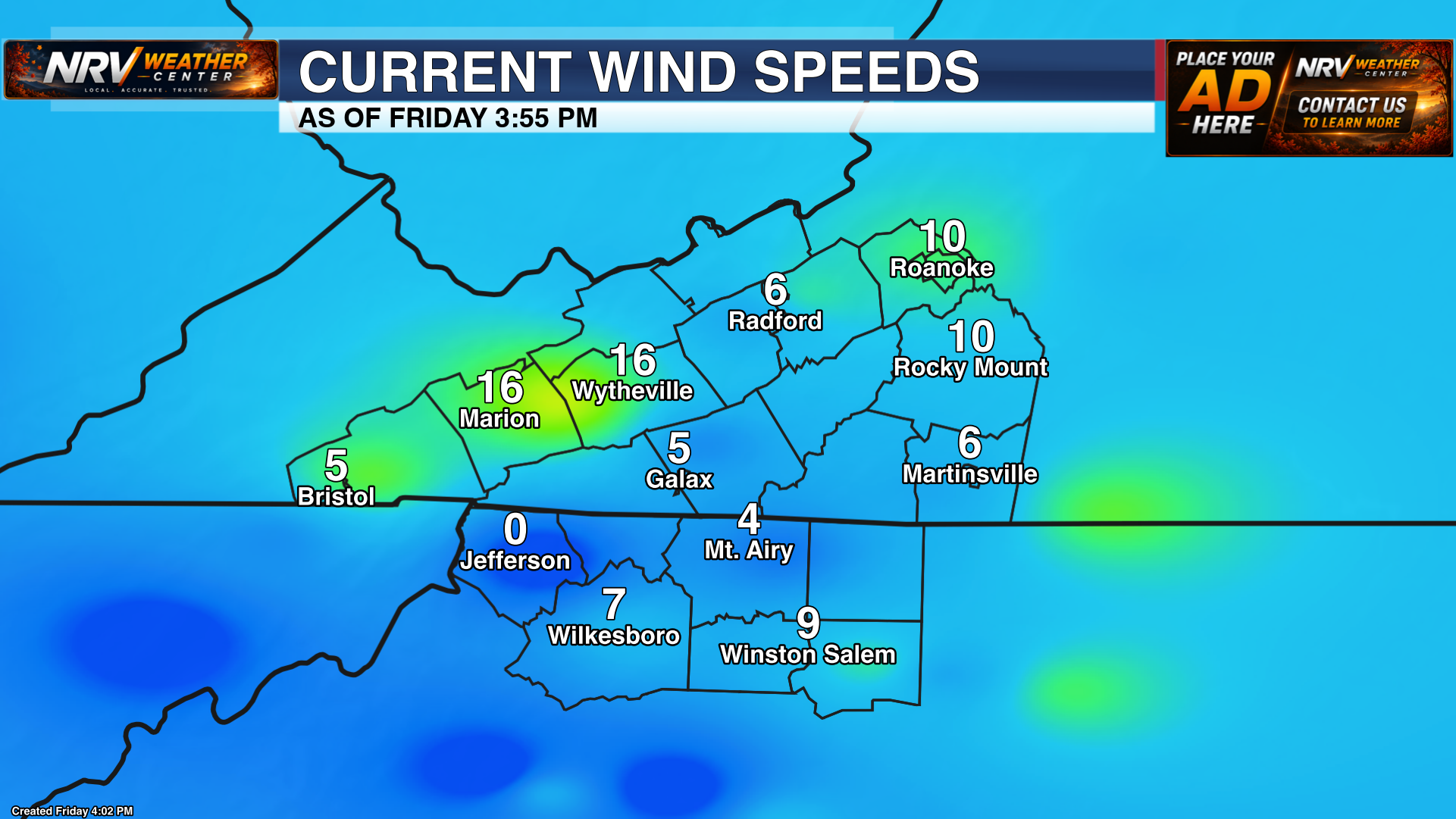
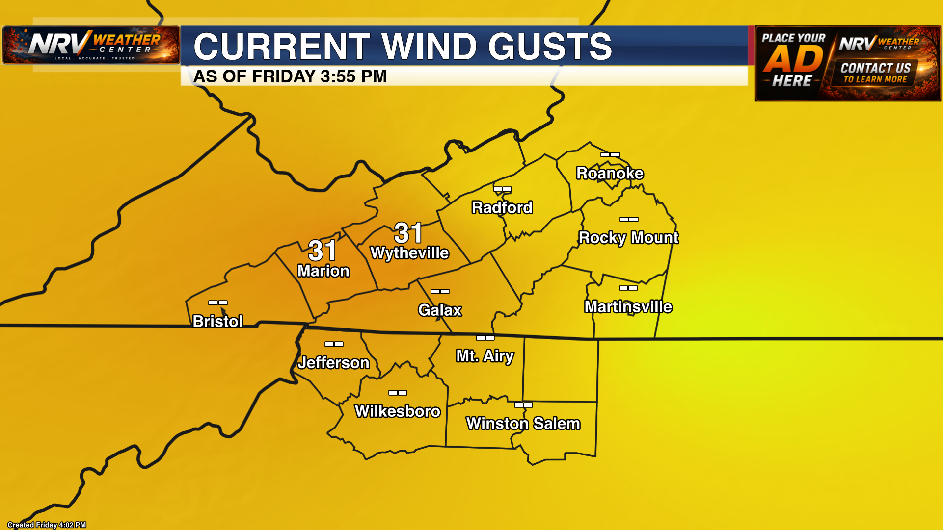
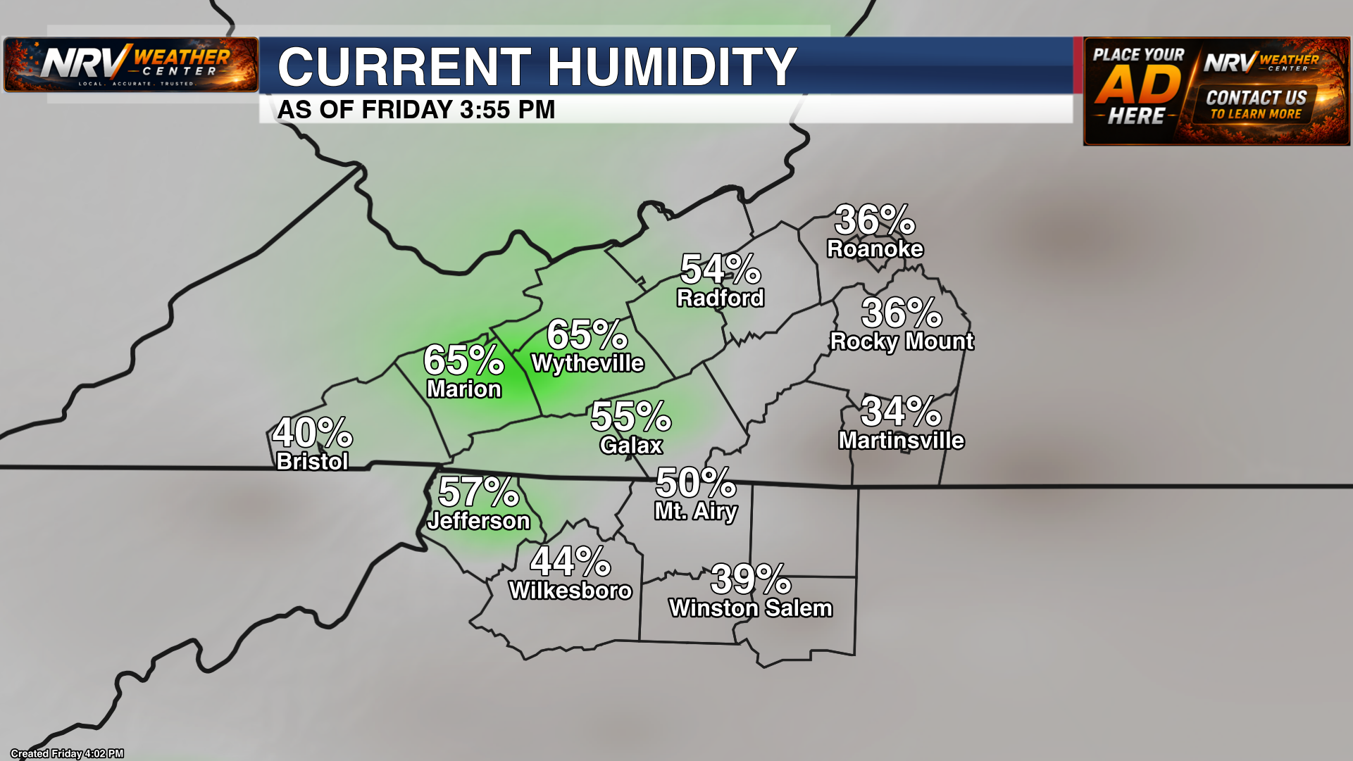
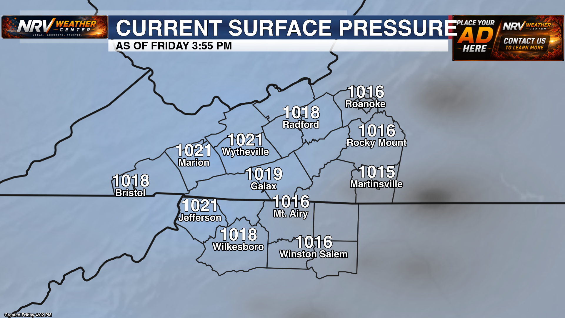
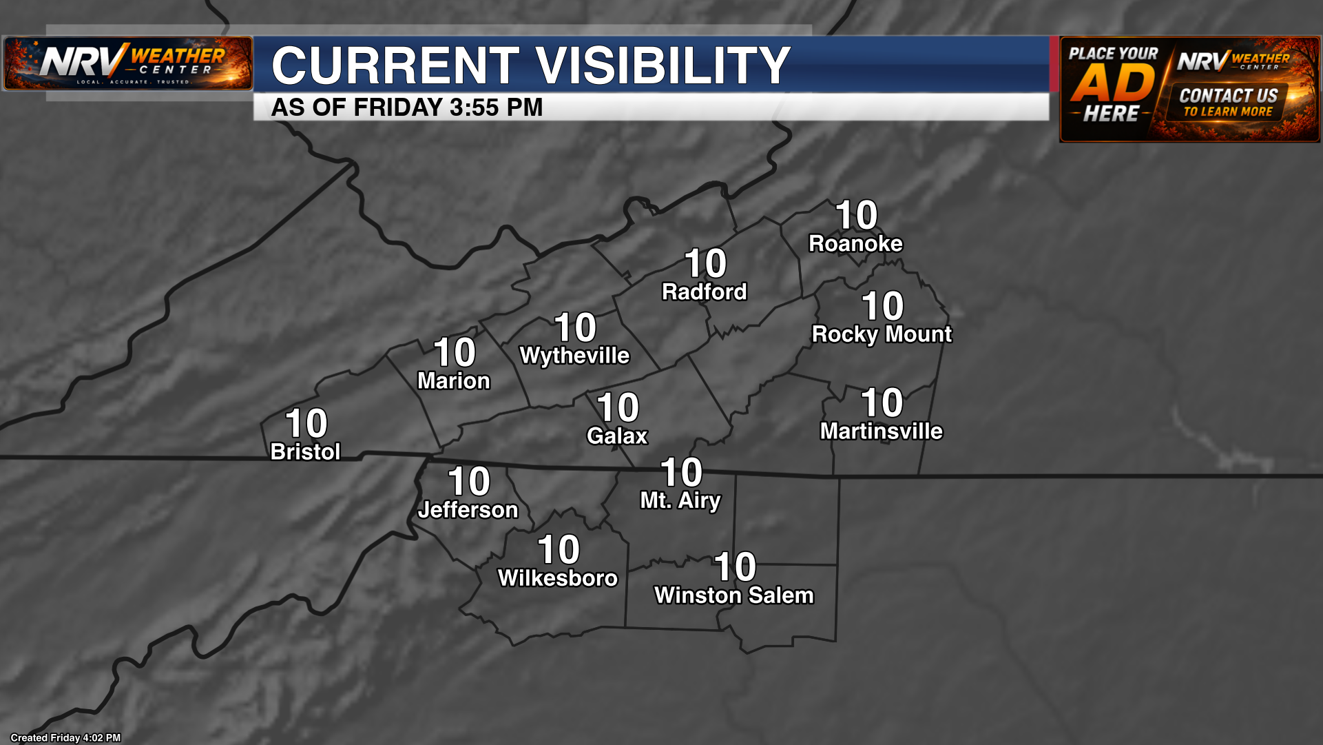
Current conditions across the region including temperatures, moisture, wind, pressure and visibility.

Longer-range outlooks
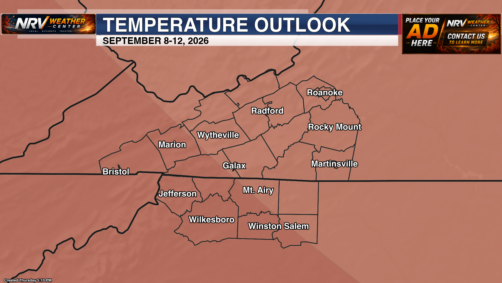
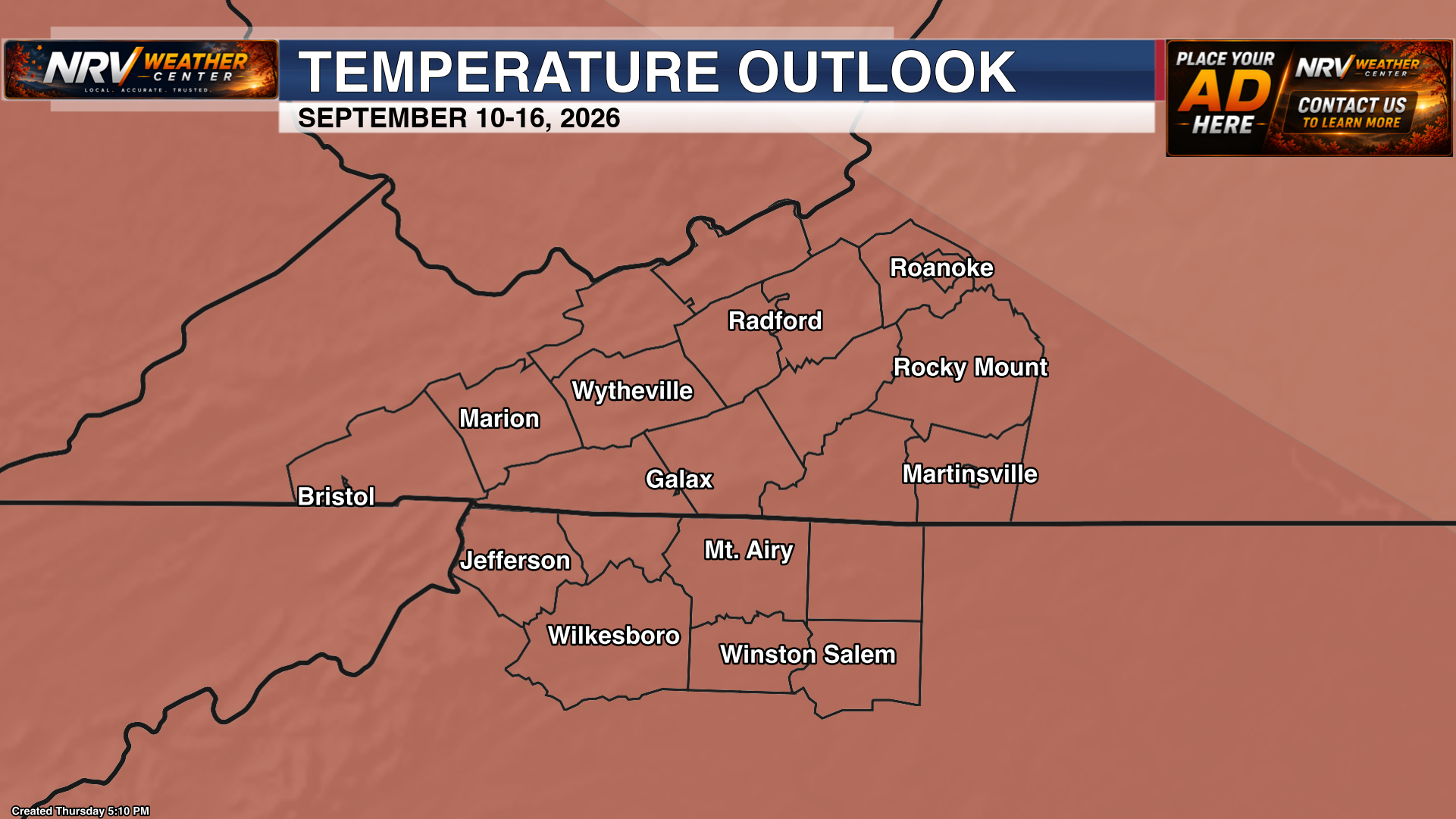
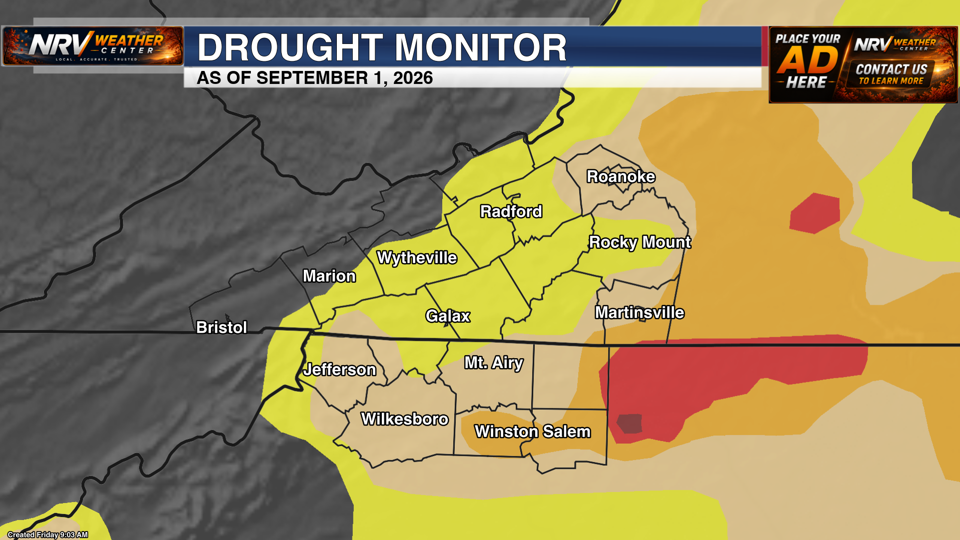
Climate Prediction Center temperature and precipitation outlooks plus the latest local drought monitor.
Future radar guidance
Automated HRRR and NAM3k future-radar animations for short-range forecast guidance.
Live storm analysis
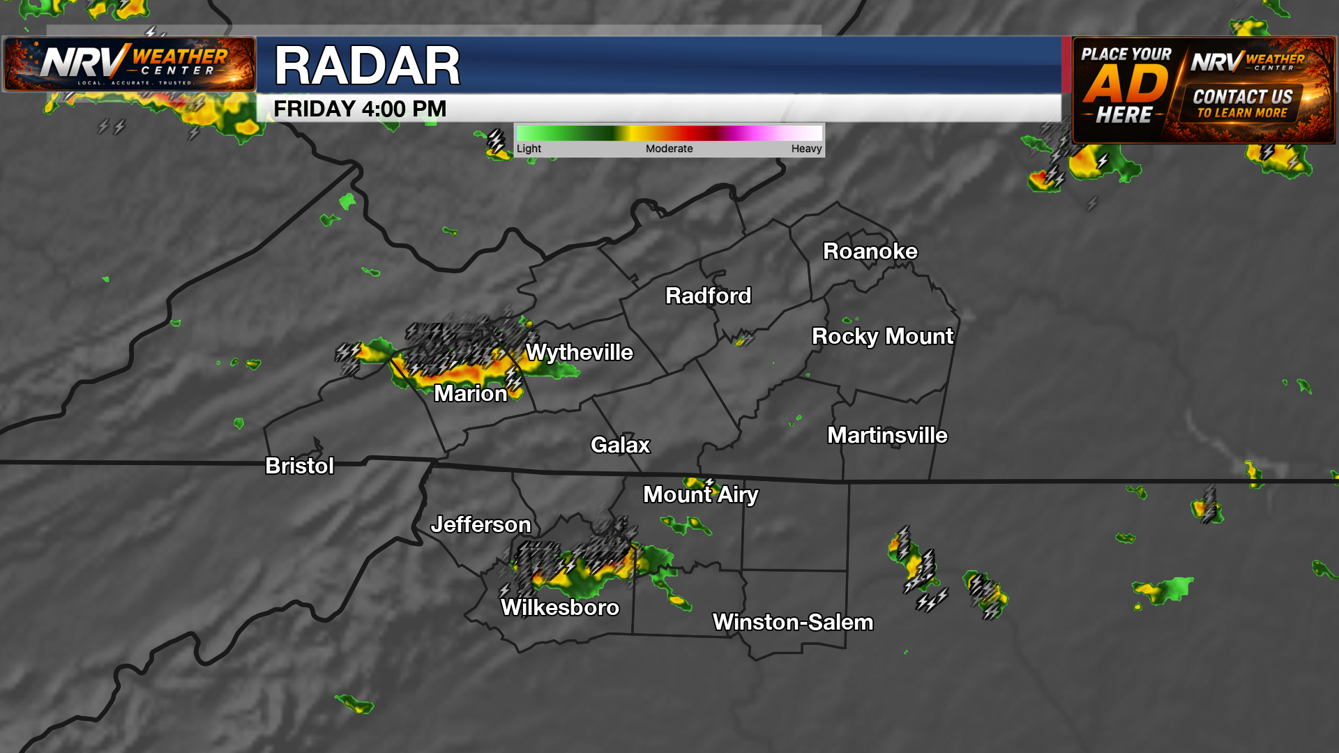
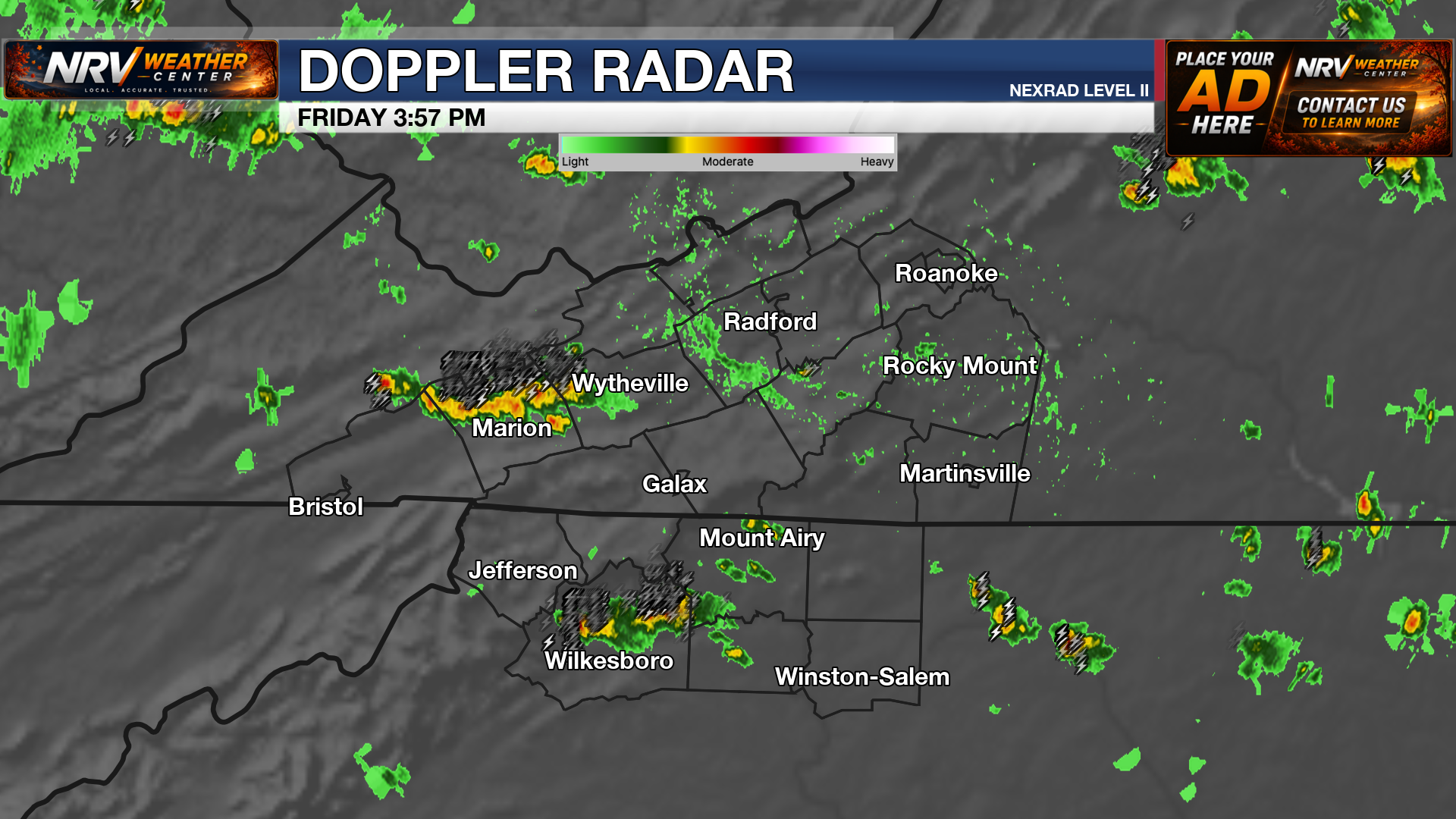
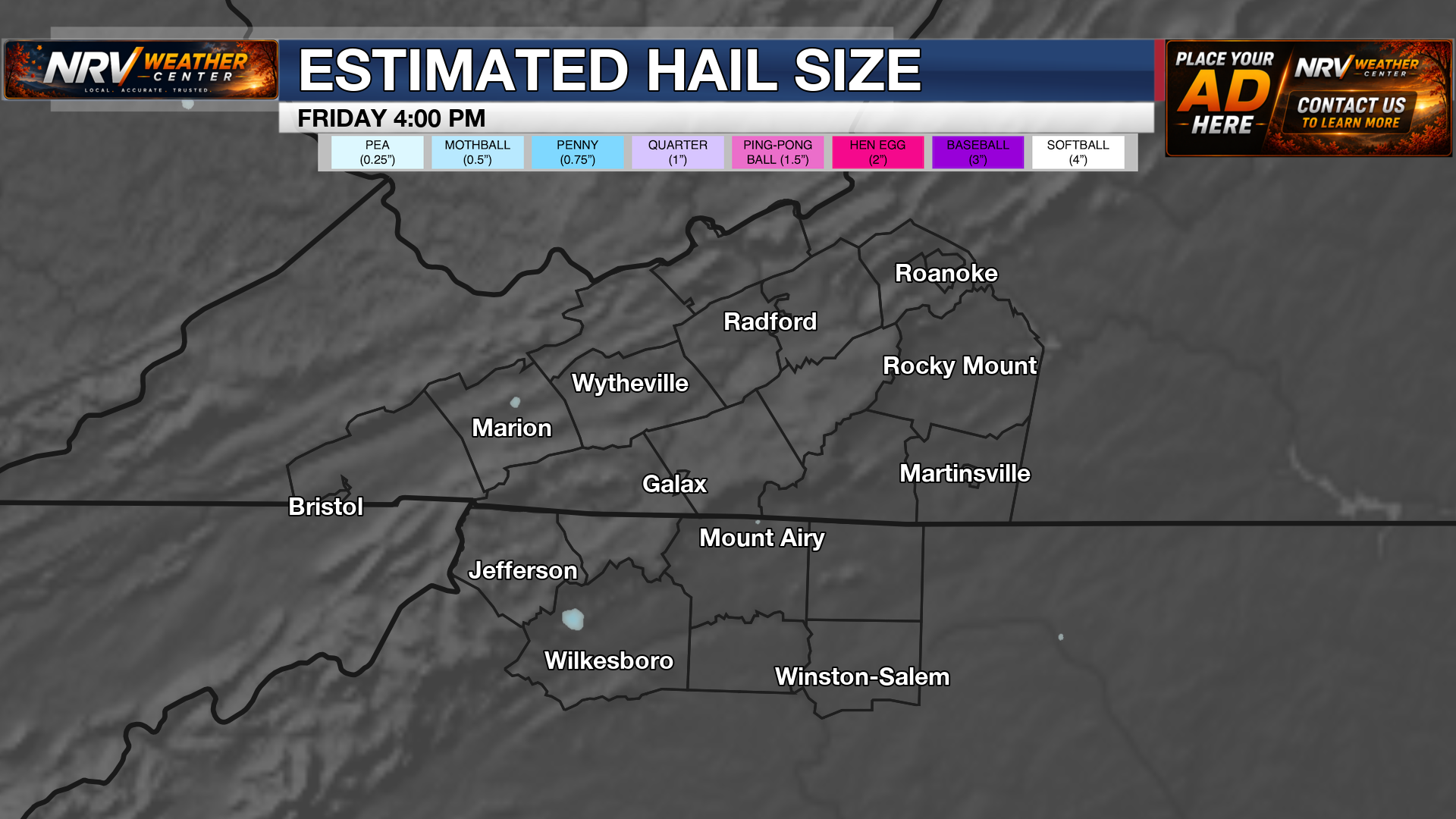
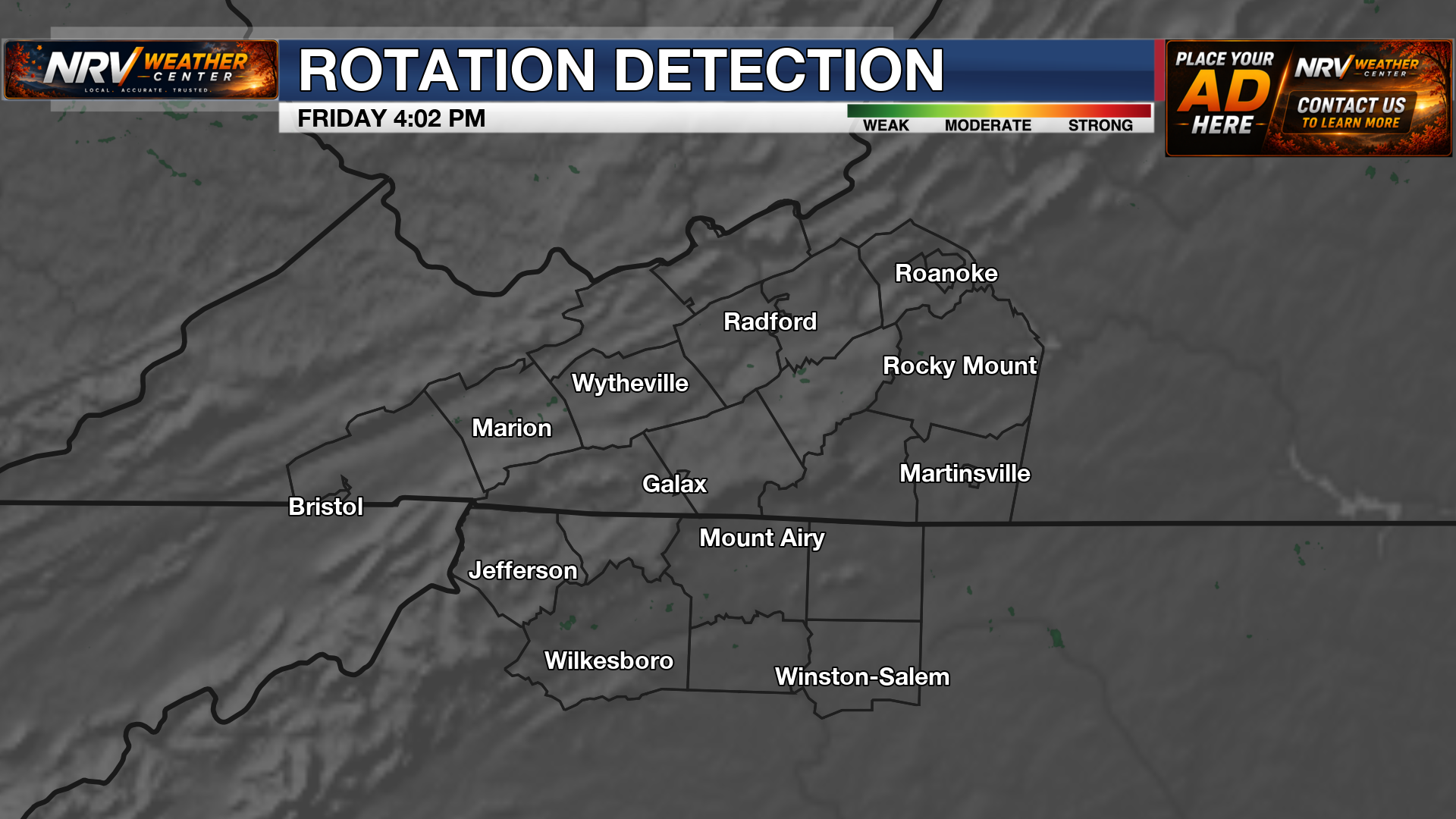
Local radar, Doppler radar, rainfall rate, hail and rotation products for tracking storms across the region.