
Strong to Severe Storms Possible Today Before Cooler Air Arrives
Updated: Saturday, September 5, 2026 at 10:45 AM EDT
Hot and humid weather will continue across the region today, but attention will quickly turn to the potential for strong to severe thunderstorms this afternoon and evening.
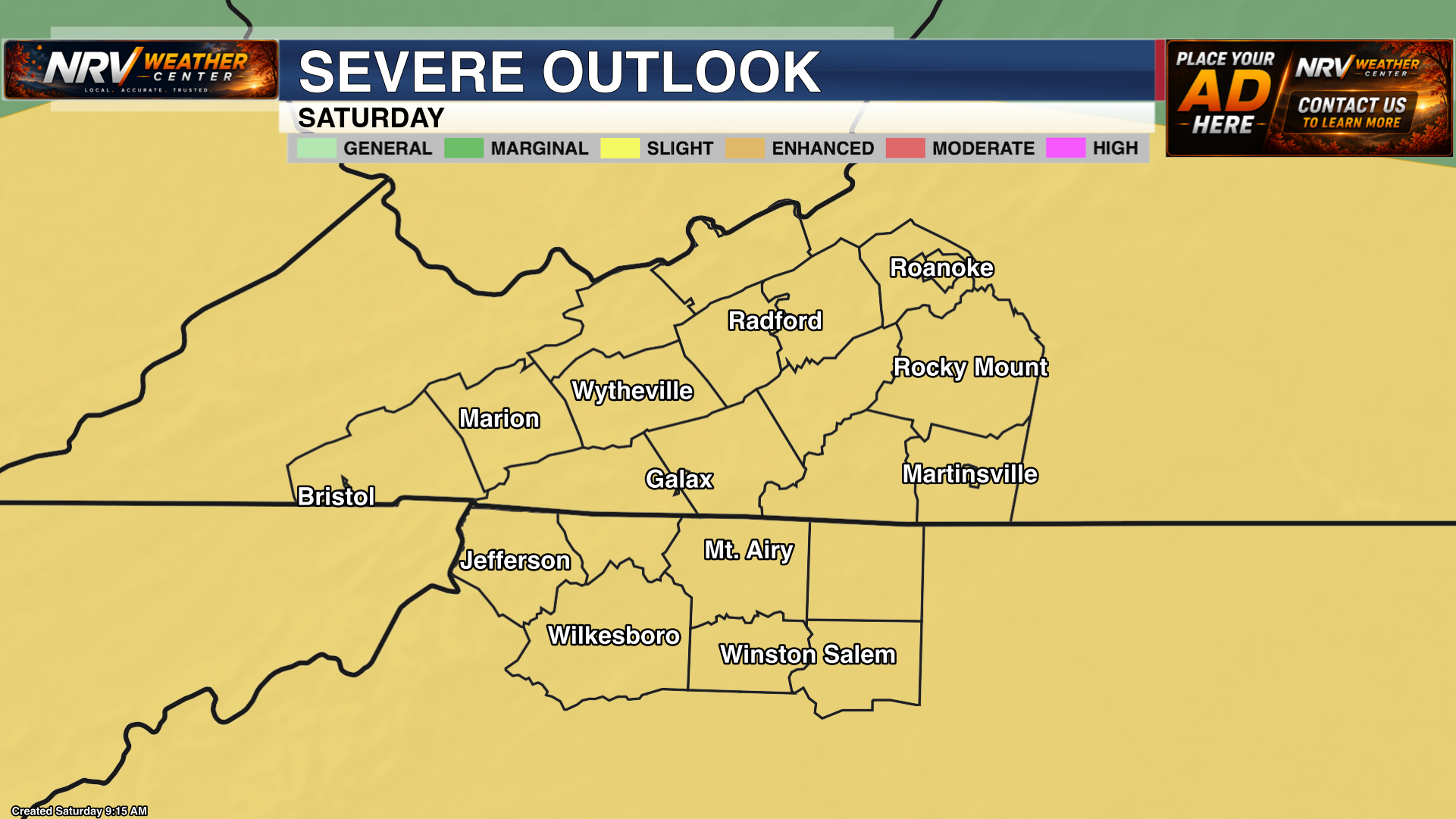
Entire Region Under a Slight Risk
The Storm Prediction Center has placed the entire NRV Weather Center coverage area under a Slight Risk for severe thunderstorms today. This includes the New River Valley, Roanoke Valley, Southside Virginia, the North Carolina Mountains and the North Carolina Piedmont.
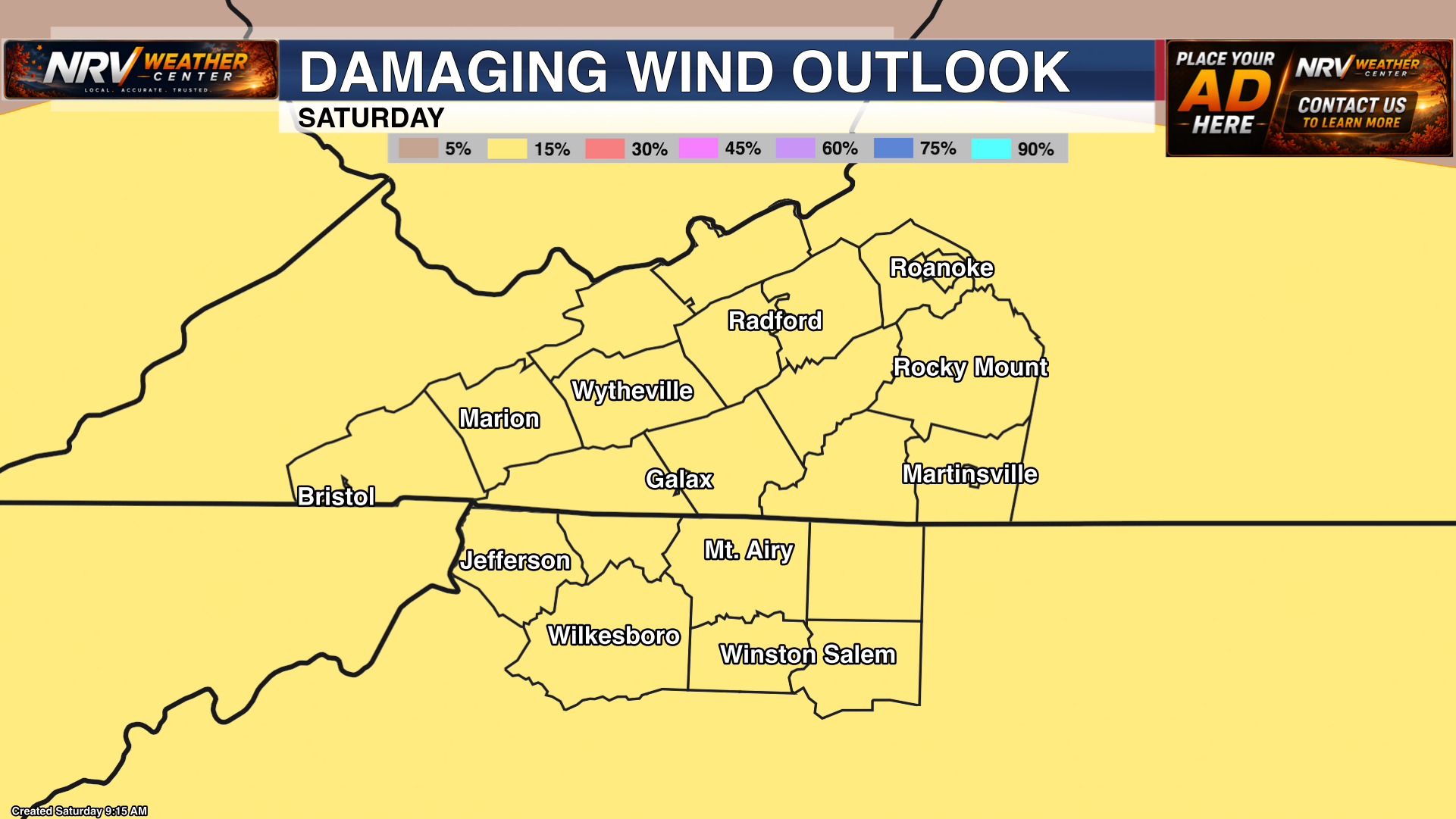
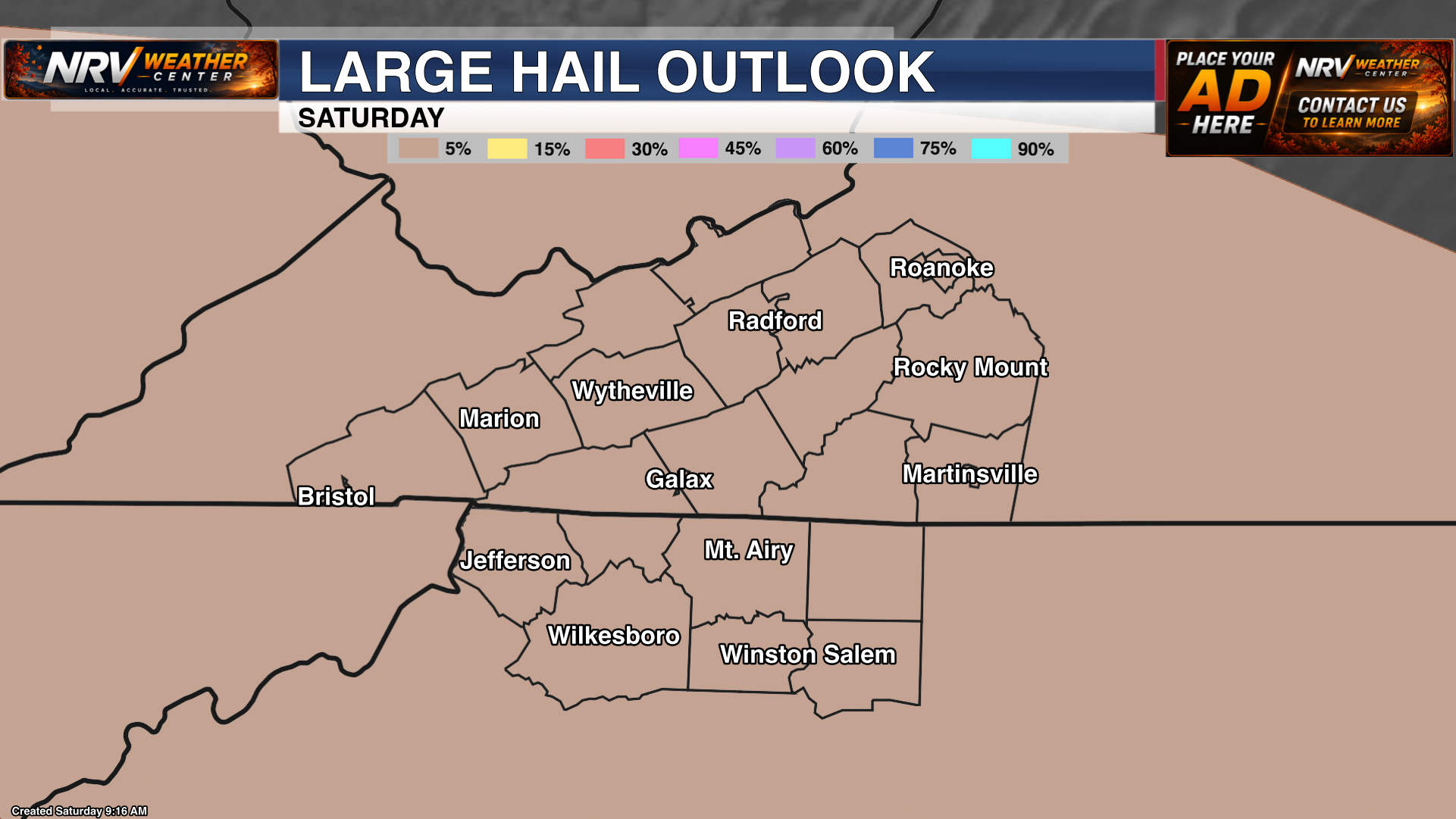
Storms are expected to develop and move across the region during the afternoon and evening. Any storm that becomes severe will be capable of producing damaging wind gusts and large hail. Frequent lightning and locally heavy rainfall will also be possible.
Not everyone will experience severe weather, but the broad Slight Risk means conditions are favorable enough that everyone should remain weather-aware. Be sure you have more than one way to receive warnings, especially if you have outdoor plans later today.
One More Hot and Humid Day
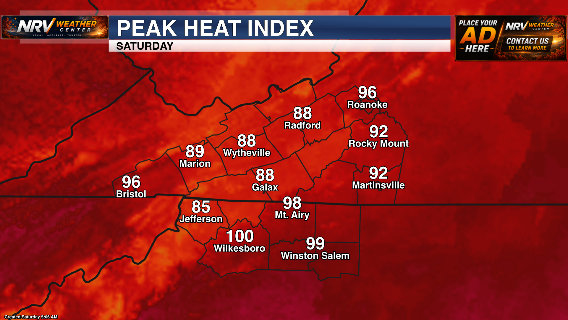
Before storms arrive, temperatures will climb into the 80s across the mountains and lower to middle 90s in the warmer valleys and Piedmont. Humidity will make it feel even hotter, with peak heat-index values approaching or reaching the triple digits in portions of the region.
Take breaks in the shade or air conditioning, drink plenty of water and avoid leaving children or pets inside parked vehicles. Thunderstorms may bring temporary relief from the heat, but they will also introduce the risk of dangerous lightning and severe weather.
Cooler Weather Begins Sunday
A front moving through the area will begin the transition toward cooler weather on Sunday. More clouds and additional rain chances will help hold temperatures down compared with today, with an even more noticeable stretch of lower temperatures expected as we begin the new workweek.
Continue checking NRV Weather Center through the afternoon and evening for radar updates, changing conditions and any watches or warnings issued for your area.